Company output 01
Nature Action Plan
- Protect
- Priority habitat and connectivity
- Restore
- Intervention zones and feasibility
- Plant
- Partner-reviewed species and seed options
One workflow for CSR and sustainability teams: satellite screening, drone and ground LiDAR, field-calibrated carbon, and repeat evidence of change.
Pilot-stage and scientist-led, built around one company decision on one landscape. Biodiversity and seed planning are co-designed with local experts. We supply decision support and monitoring evidence. We are not a Verra validation or verification body.
CSR, REDD+, carbon and disclosure all create reasons to act. Teams still lack a starting point at the site itself.
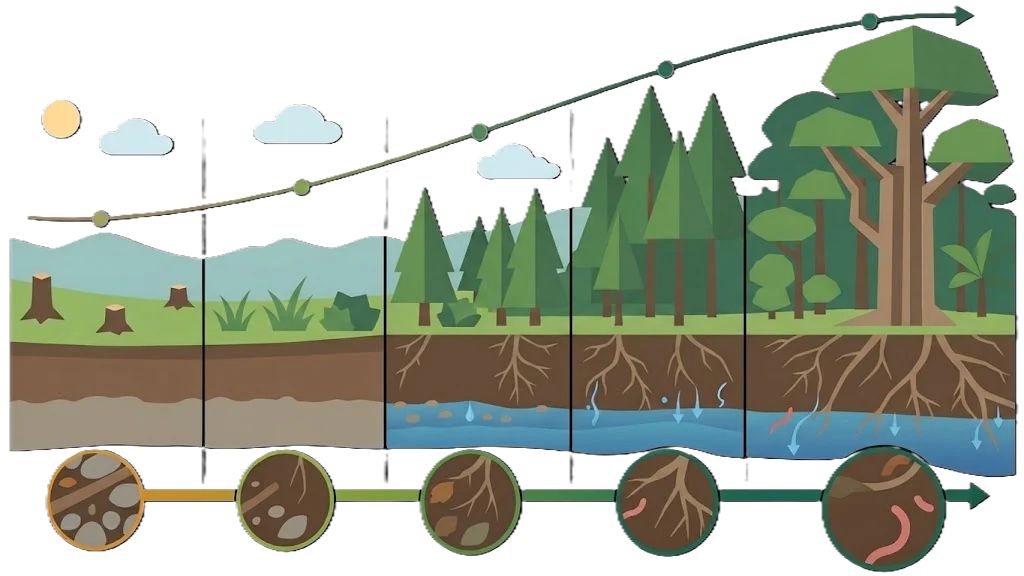
Land-change history, carbon-stock range, woody structure, habitat condition, pressure and uncertainty form one field-calibrated baseline.
Habitat condition, connectivity and pressure help prioritise protection and field assessment. The map supports—not replaces—licensed ecology and HCV work.
Protect and restore zones lead to a native-species and seed-zone shortlist co-designed with local ecologists and constrained by soil, climate and availability.
The same landscape is re-measured against its baseline so claims become trends with uncertainty and corrective action follows observed change.
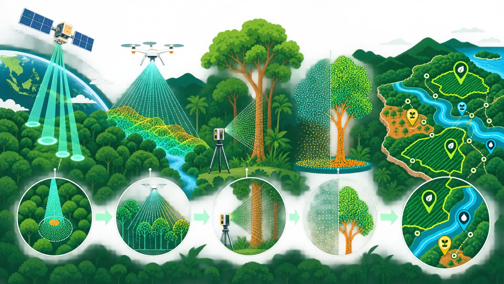
Sentinel-1/2 change history and GEDI structure or biomass context reveal condition, pressure, gaps and where project-scale field evidence is needed.
Drone LiDAR and TLS create 3D point clouds. Deep learning identifies trees and separates wood from foliage before measured stems calibrate carbon.
The Nature Action Map combines protect/restore priorities, partner-reviewed species options, carbon uncertainty and recurring MRV evidence for corporate and standards workflows.
The product combines real landscape and forest-structure inputs, then turns them into a site-specific action and monitoring plan.
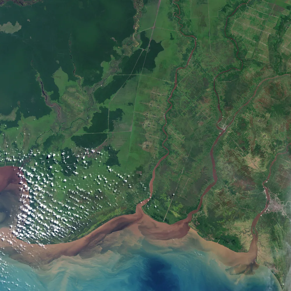
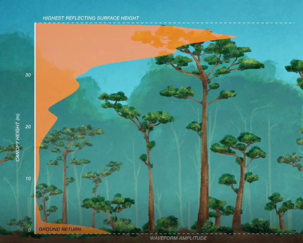
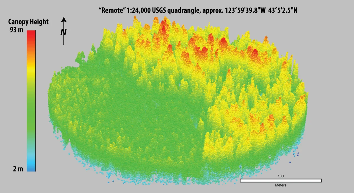
Representative public data, not client results. Landsat 7 via NASA Earth Observatory; GEDI via NASA Earthdata; LiDAR visual via USGS.
No technology shopping list. Just the evidence needed for the next decision.
The buyer is an Indonesian CSR, sustainability or land-management team starting a forest or carbon programme.
Context: Indonesia REDD+ National Strategy 2021–2030 · Indonesia FOLU Net Sink 2030 · RSPO RaCP · Verra VCS
| Actor | Role in the pilot | What Earth Metrics adds |
|---|---|---|
| Company decision owner | A CSR, sustainability, EHS or land lead provides the boundary, objective, field access and accountable decision. | The complete package: landscape screen, field campaign, AI/carbon baseline, Nature Action Map and monitoring evidence. |
| Ecology and seed partner | Validates biodiversity priorities, local species choice, seed sourcing and field feasibility. | Wall-to-wall context and transparent constraints that make specialist fieldwork more targeted and operational. |
| Carbon project or assurance partner | Maps the applicable REDD+/Verra methodology and independently tests whether the evidence is fit for its intended workflow. | An auditable record of assumptions, calibration, uncertainty and change that supports—not replaces—project development or validation/verification. |
The first pilot stays narrow: one company objective, one decision. Sector standards come in as modules around the same product.
A verifier paid by the party it verifies has a structural conflict, and good intentions do not solve it. Auditing solved this with published standards and disclosure. We will publish ours, including aggregate pass rates.
The first engagement validates the buyer, the route to procurement, field cost and recurring value. Price is agreed with the partner.
We are looking for one Indonesian landscape with field access and an accountable lead. You get the full package: screening, field verification, analysis, a carbon and Nature Action Map, and a monitoring plan.
If your team is starting a nature, carbon or restoration programme and does not know where to begin, the conversation is worth having.