Earth data · field evidence · decisions

Read the land before acting.

From forest restoration to urban sites, see the evidence behind the decision.
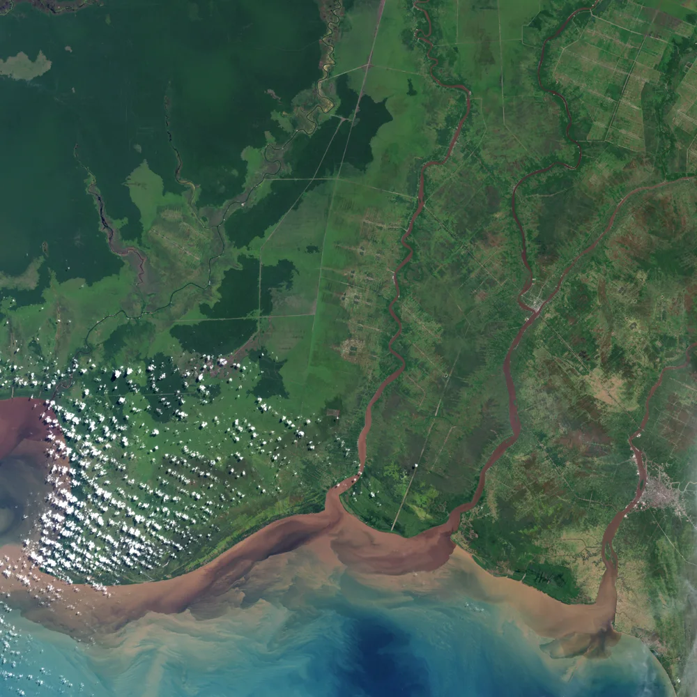
Landsat view of forest and land-use patterns in Kalimantan
Landscape change · NASA/USGS Landsat
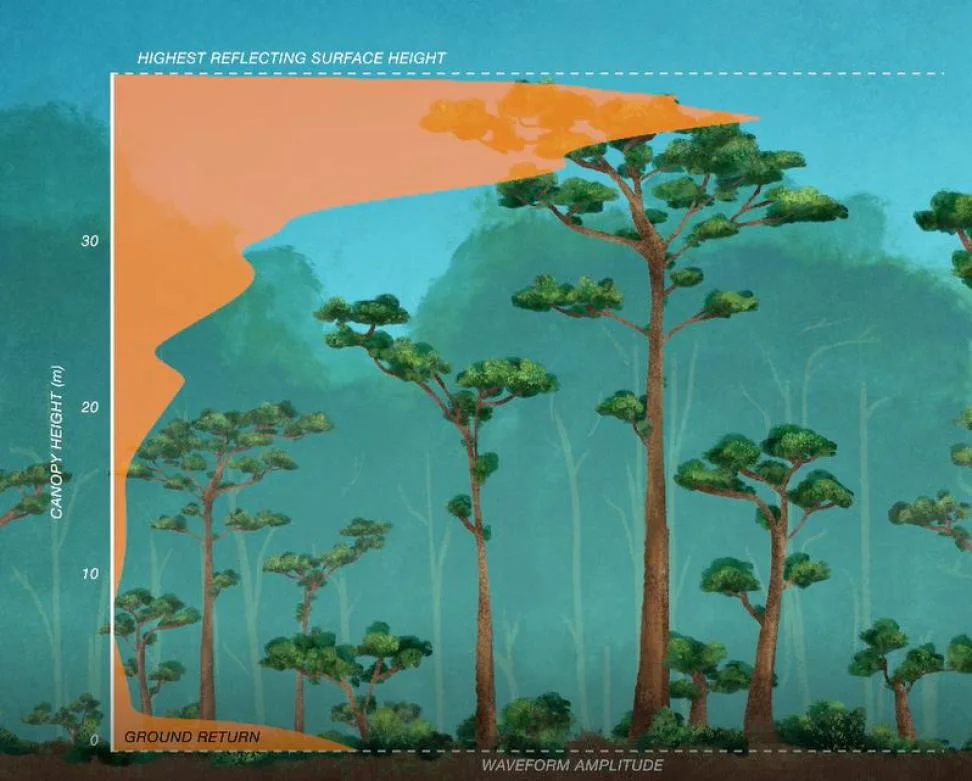
NASA GEDI waveform illustrating forest canopy height
Canopy structure · NASA GEDI
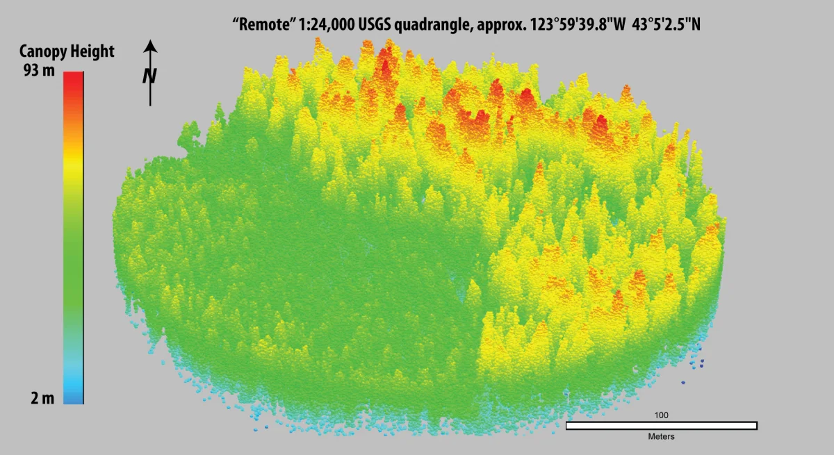
LiDAR point cloud showing forest canopy height
3D structure · USGS LiDAR

Choose your landscape.

Two focused products. One clear next step.

01 · Company landscapes

Nature Intelligence

Know what to protect, restore, plant and monitor.

IdentifyActProve
Explore Nature →
02 · Property and cities

Urban

Check a parcel. Analyse a site. Compare locations.

PersonalProfessionalBusiness
Explore Urban →